About#
Where open geospatial science meets the decentralized geospatial web!
The EASIER Data Initiative develops decentralized cyberinfrastructure for efficiently, accessibly, and sustainably onloading, analyzing, and extracting large amounts of geospatial data. Concerning onloading, we are building a generalizable pipeline for heterogeneous geospatial data ingress into the Filecoin and IPFS environment.
We aim to facilitate data analysis and extraction to create a streamlined process to bring data off the Filecoin/IPFS network in an actionable and useful capacity. The goal is to design and optimize offloading techniques that are compatible with existing geospatial workflows, integrating with existing standards such as Cloud Optimized GeoTIFFs (COGs), and SpatioTemporal Asset Catalogs (STACs). To solidify the accessible offloading experience, we are creating several approachable client programs in common languages such as JavaScript, Python, and Go.
The Team#
Taylor M. Oshan#
Project Lead
Taylor is trained broadly as a geographic information scientist with interest in the full consumption lifecycle of geographic information from data creation, storage, dissemination, analysis, and decision-making. He obtained his PhD in Geographical Science from Arizona State University and is currently assistant professor at Department of Geographical Sciences at the University of Maryland, College Park.
Contact#
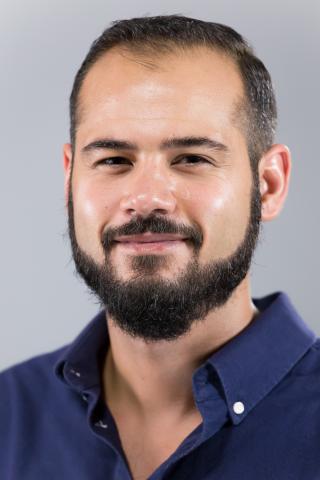
Seth Docherty#

Software and Geospatial Developer
Seth is the newest member of the EASIER Data Initiative. He has a deep background in GIS through working at Esri. At EASIER, he assists developing all projects and is currently exploring feasible ways to curate a pipeline to store GEDI data on Filecoin.
Contact#
Victor Irekponor#

Geospatial Developer
Victor is a Ph.D. student at the Center for Geospatial Information Science, University of Maryland. He has a broad interest in spatial data science, smart cities, artificial intelligence, and decentralized ecosystems. With a strong background as a machine learning software engineer and data scientist, he possesses expertise in Python and JavaScript programming languages. Committed to making a meaningful impact, Victor aims to advance knowledge and drive positive change through cutting-edge research and the application of emerging technologies in our interconnected world.
Contact#
John Hoopes#
Web3 Consultant
John’s background is in spatial data science and visualization, with a specialization in geospatial data, deep learning systems, and smart contracts — remote sensing, web mapping, and spatial data science along with consensus networks, blockchains, and decentralized identity.
Contact#
Alumni#
John Solly#

Senior Geospatial Developer
As a Geospatial Developer, John combines GIS domain knowledge and full stack web development to create beautiful (and fast) applications. He studied GIS under thought leaders (Michael Goodchild, Waldo Tobler, Krzysztof Janowicz, and Dan Montello) while completing a B.A. in Geography at UC Santa Barbara and an M.S. in Geoinformatics and Geospatial Intelligence at George Mason University.
Contact#
Jack Rickey#

Web3 Consultant
Jack is a Master of Quantitative Finance student at the Robert H. Smith School of Business and he graduated in 2021 from the University of Maryland with a Bachelor’s Degree in Mathematics. He is interested in exploring the economic and organizational implications of decentralized web technology on the geospatial data ecosystem. He also runs a consulting business, providing modeling and analytics services in token economics for web3 startups and companies.
Contact#
Zheng Liu#

Post-Doctoral Associate
Zheng was a Post-Doctoral Associate in the project who is growing and applying his knowledge and experiences in the cyber-infrastructure, spatial data ETL process, and decentralized ecosystems. He received his Ph.D. in Geographical Sciences at the Department of Geographical Sciences at the University of Maryland, College Park in 2023 and obtained his BSc in Geographical Information Science and Mathematics from Peking University in 2017.
Contact#
Matthew Nanas#
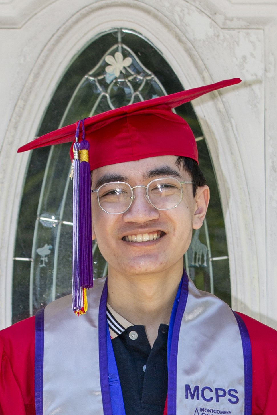
Web3 Developer
Matthew is a undergraduate at the University of Maryland studying computer and information science. He has experience in developing client-side apps in both the Ethereum and Solana ecosystem. As a developer for the EASIER Data Initiative, he aims to explore decentralized storage and compute and how they can be used for data-intensive geospatial workflows.
Contact#
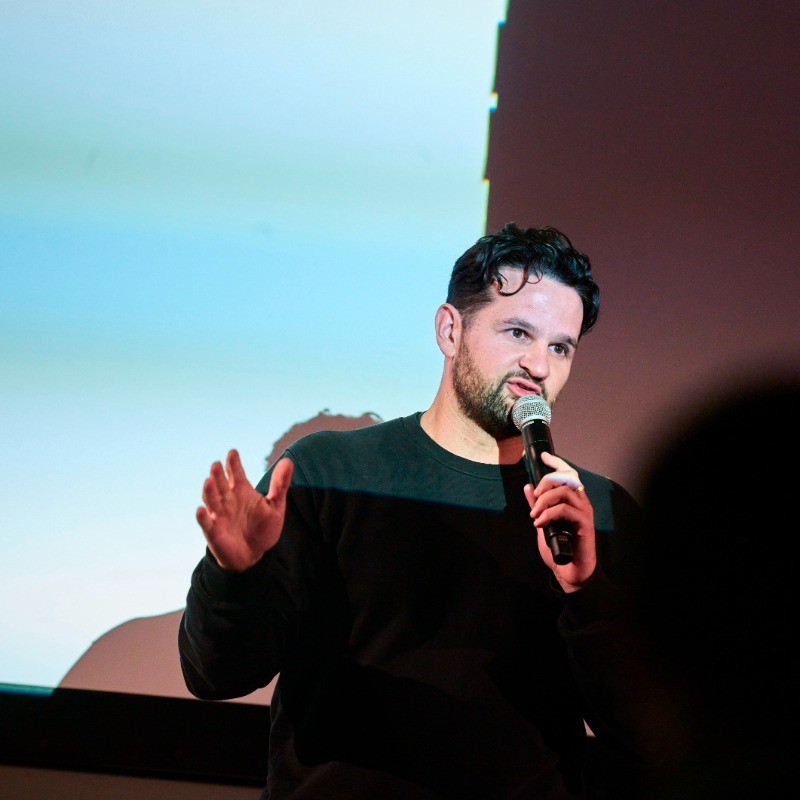
Adrien Ramsamy#

Web3 Developer
Adrien is pursuing a Master’s in Computer Science at the University of Maryland. He is interested in applications of decentralized systems to geospatial challenges. At the EASIER Data Initiative, he leads the development of the decentralized proof of location application.
Contact#
The EASIER Data Initiative Launch